ISTEA High Priority 5 Corridor


|
High Priority Interstate 73 and Interstate 74 Corridor 5
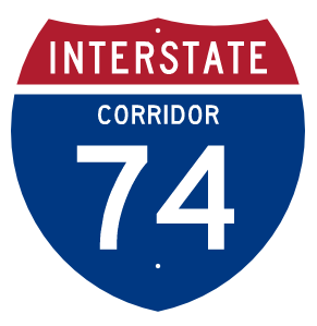
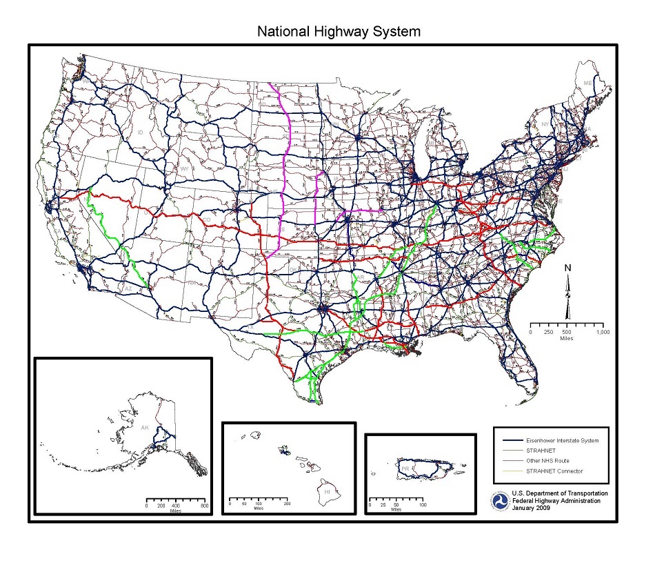
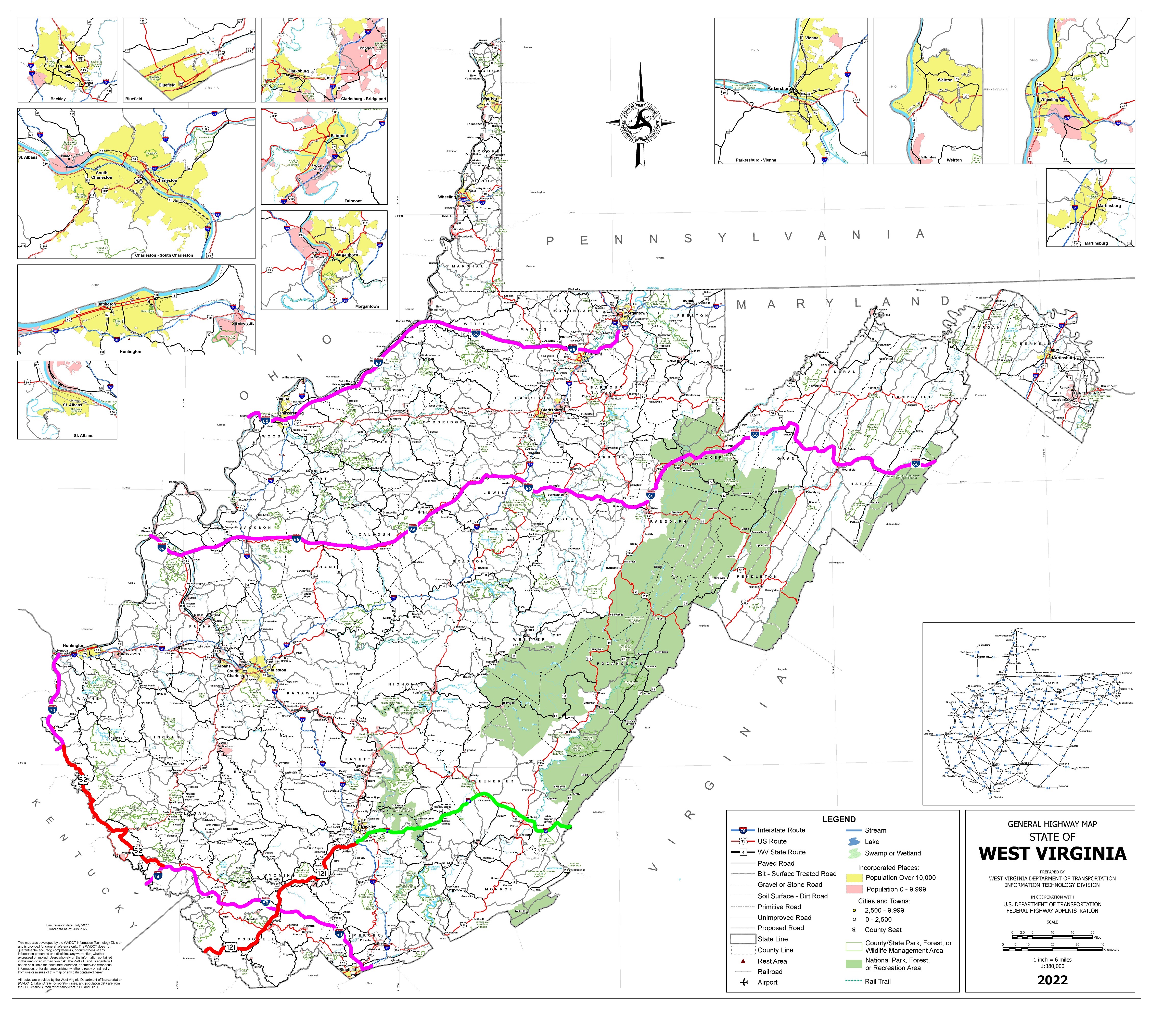
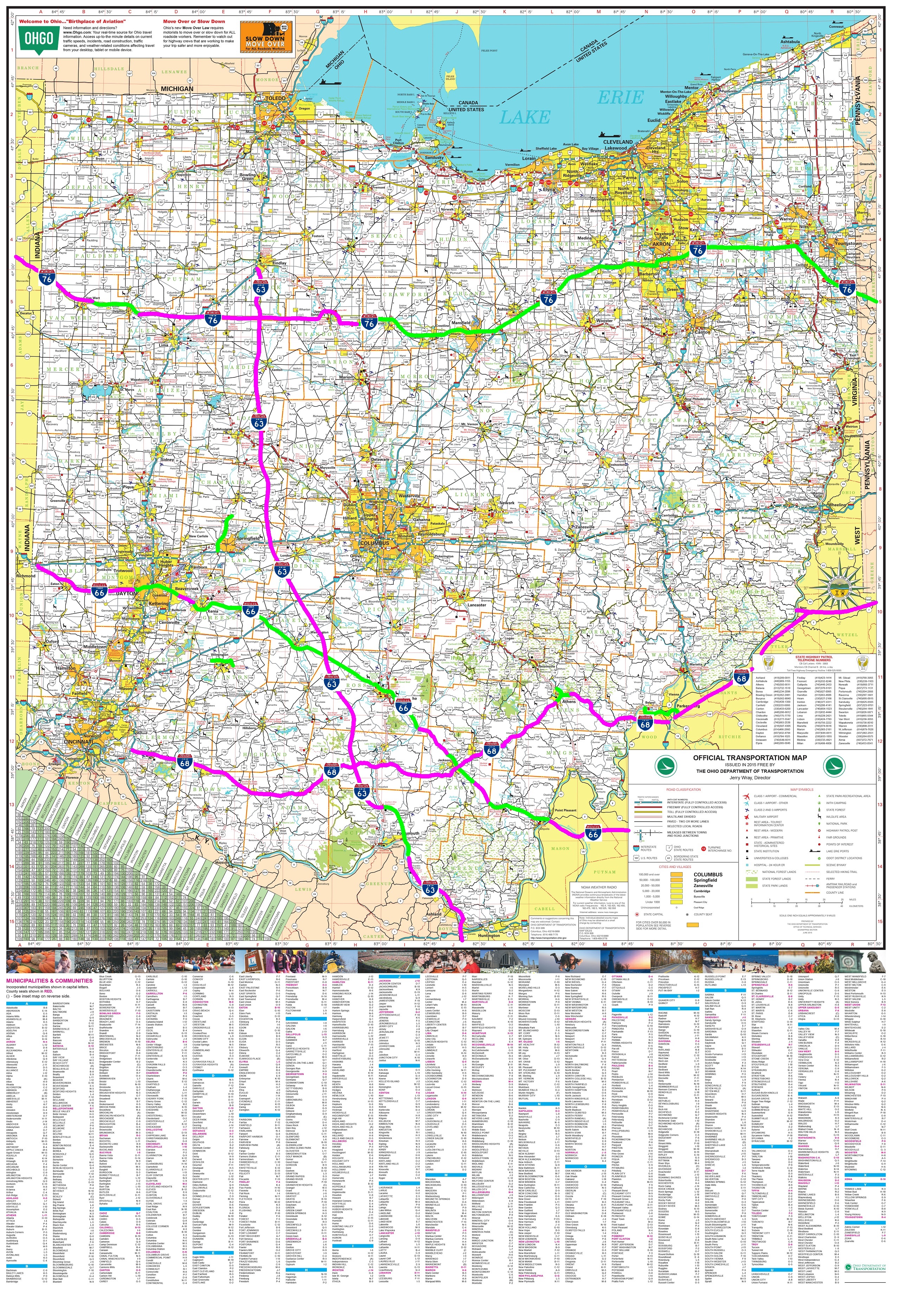
History of the I-73/I-74 Corridor 5 in North Carolina, South Carolina, And VirginiaThe Interstate Corridors for Future I-73 and I-74 were created in the 1991 ISTEA and is still listed by the FHWA in the National Highway System as the High Priority I-73/I-74 North-South Corridor 5.The I-73 corridor in ISTEA runs from South Carolina to Michigan. The Future I-73/I-74 North-South Corridor was completely motivated by the National I-73/I-74/I-75 Corridor Association, local business interest and local politicians for economic development and tourism at Mrytle Beach South Carolina though traffic projections were low. Future I-73, in particular, was the concept of business and local politicians in Bluefield West Virginia that wanted the U.S. 52 King Coal Highway to become an interstate through Bluefield for economic development. The state transportation departments of Ohio, Michigan, and Virginia knew the concept was unfeasible with little traffic benefit and had no intention to fund any part of I-73. But Senators like Warner of Virginia and Faircloth of North Carolina created the concept of I-73 and extending I-74, both out of place in the Interstate system grid. Senator Warner of Virginia supported an east-west route as the continuation the I-66 Trans America Corridor. VDOT did not support the I-66 designation in Virginia for the Trans America Corridor since I-66 already exist in northern Virgina. Senator Warner promoted the extension of I-74 along the Trans America Corridor to Norfolk. The political compromise was to also extend I-74 east from Cincinatti, however VDOT did not support building any interstate along U.S. 460 portion of the Trans America Corridor in Virginia. The final compromise was to route I-74 through North Carolina to the South Carolina border. The only part of I-73 and I-74 as defined in ISTEA was built in North Carolina. Ohio State Representatives Justin Pizzulli (R-Scioto County) and Jason Stephens (R-Kitts Hill) convinced the Ohio State Legislature to pass a resolution in 2022 and helped pass House Bill 54 in 2025 to direct the Ohio Department of Transportation to conduct a $2M feasibility study of Future I-73 from Toledo to Chesapeake Ohio, connecting to I-64 in Huntington West Virginia along the Ohio River. The Ohio Department of Transportation already knows from its feasibility study in the 1990's and it's "Route 23 Connect" study that a freeway from Waldo to I-270 Columbus is not feasible and that public opposition will be massive in the Columbus area to Future I-73 as it was in the 1990's, no matter which route was studied. "...SECTION 755.50. The Director of Transportation shall conduct a feasibility study for the creation of an Interstate Route 73 corridor connecting the municipal corporation of Toledo to the municipal corporation of Chesapeake, primarily alongside current United States Route 23. The purpose of the new corridor is to better connect Interstate Route 74, Interstate Route 75, and the states of Michigan, Ohio, West Virginia, Virginia, North Carolina, and South Carolina along one continuous interstate route. The feasibility study shall examine how to alleviate congestion along United States Route 23, the economic impacts of a new interstate corridor, safety concerns, connectivity issues, and methods for coordinating with the other states and the United States Department of Transportation for the creation of the corridor. The Director shall complete the feasibility study not later than December 31, 2026..." ODOT completed the "Route 23 Connect" study to plan upgrading U.S. 23 to a partially controlled access "free-flow" expressway. ODOT investigated the full freeway option for U.S. 23 but was overwhelmed with opposition and backed down to the expressway because of the high cost of even a non-interstate standard freeway. However, the State Legislature wants to investigate, either a freeway or toll-road from U.S. 23 to I-71 further north at OH 229. "SECTION 755.60. (A) The Department of Transportation and the Ohio Turnpike and Infrastructure Commission shall work together to create a joint plan regarding the feasibility of connecting U.S. Route 23 to Interstate Route 71 by doing one of the following: (1) Expanding State Route 229 in northern Delaware County; (2) Expanding another similar state route or other highway in northern Delaware County; (3) Creating a new freeway between U.S. Route 23 and Interstate Route 71 in northern Delaware County; (4) Creating a toll road between U.S. Route 23 and Interstate Route 71 in northern Delaware County; (5) Creating a new freeway, which may be a toll road, in the region between State Route 529 and Waldo, Ohio heading eastward toward Interstate Route 71 north of Marengo, Ohio in Marion County and Morrow County. If U.S. 23 were converted to Future I-73, how much would it cost and how long would it take to build? A route has not been selected, and last time, ODOT proposed to completely bypass Columbus and Delaware along a new terrain route. Opposition exploded from property owners along the bypass, which was the most expensive route to select, and the concept sank like a lead ballon. The cheapest conceptional route is to upgrade the existing U.S. 23 south of Columbus and U.S. 23 north of Waldo and OH 15 to I-75 with a freeway connector along OH 229 to I-71. However, the language of the law passed by the State Legislature mandates a feasibility study for "...the creation of an Interstate Route 73 corridor connecting the municipal corporation of Toledo to the municipal corporation of Chesapeake, primarily ALONGSIDE (parallel) current United States Route 23", a "new terrain" route separate from U.S. 23. The feasibility study limits Future I-73 to the U.S. 23 corridor with no mention of U.S. 35 or U.S. 33. ODOT only plans to upgrade U.S. 33 to a four-lane divided highway with a few interchanges from Athens to the Ohio River where it will connect to the existing U.S. 33 four-lane in West Virginia that terminates at I-77. Upgrading the existing U.S 23 and OH 15 from I-75 Findlay to I-64 Huntington would cost $3.2B. This assumes no need to upgrade I-71 and I-270. However, building Future I-73 completely as a "new terrain" route from Toledo OH to Huntington WV and bypassing Columbus again as proposed in the 1990's, the cost increase to $20M per mile making the cost of the "new terrain" Future I-73 between $5B-$6B. Even if the feasibility study is finished in 2026, the mandatory full NEPA environmental studies for this new interstate facility will take another 5-10 years, and construction may wait 20 years waiting for money to become available, so the earliest completion date would be 2050 to 2060. Environmental lawyers that are guaranteed to file lawsuits from opponents will make sure the project follows the full NEPA process of feasibility study, draft environmental study, and final environmental study which is why it will be up to 10 years of studies. The high cost versus traffic benefit may make it unfeasible again if the state's feasibility study shows insufficient traffic between I-90 and I-64. Michigan, under Governor Jennifer Granholm, cancelled the I-73 project in the 1990's, West Virginia has no money for I-73 following U.S. 52. The Virginia Commonwealth Transportation Board (CTB) in 2024 rescinded the 2001 location decision for an I-73 alignment between Roanoke and the North Carolina border and the Henry County Alternative, terminating future planning or funding of Future I-73 by the Commonwealth of Virginia. The project was never funded to advance to design or construction phases. VDOT has no funding identified to study, design or construct I-73 in Virginia and has removed the website information of future planning, so VDOT officially cancelled anything involving Future I-73. Because Virginia no longer plans to build Future I-73, the AASHTO should decommission I-73 in North Carolina, leaving only the I-74 designation as established by Congress. The remaining I-73 north of I-74 through Greensboro to U.S. 220 should be designated as I-174. 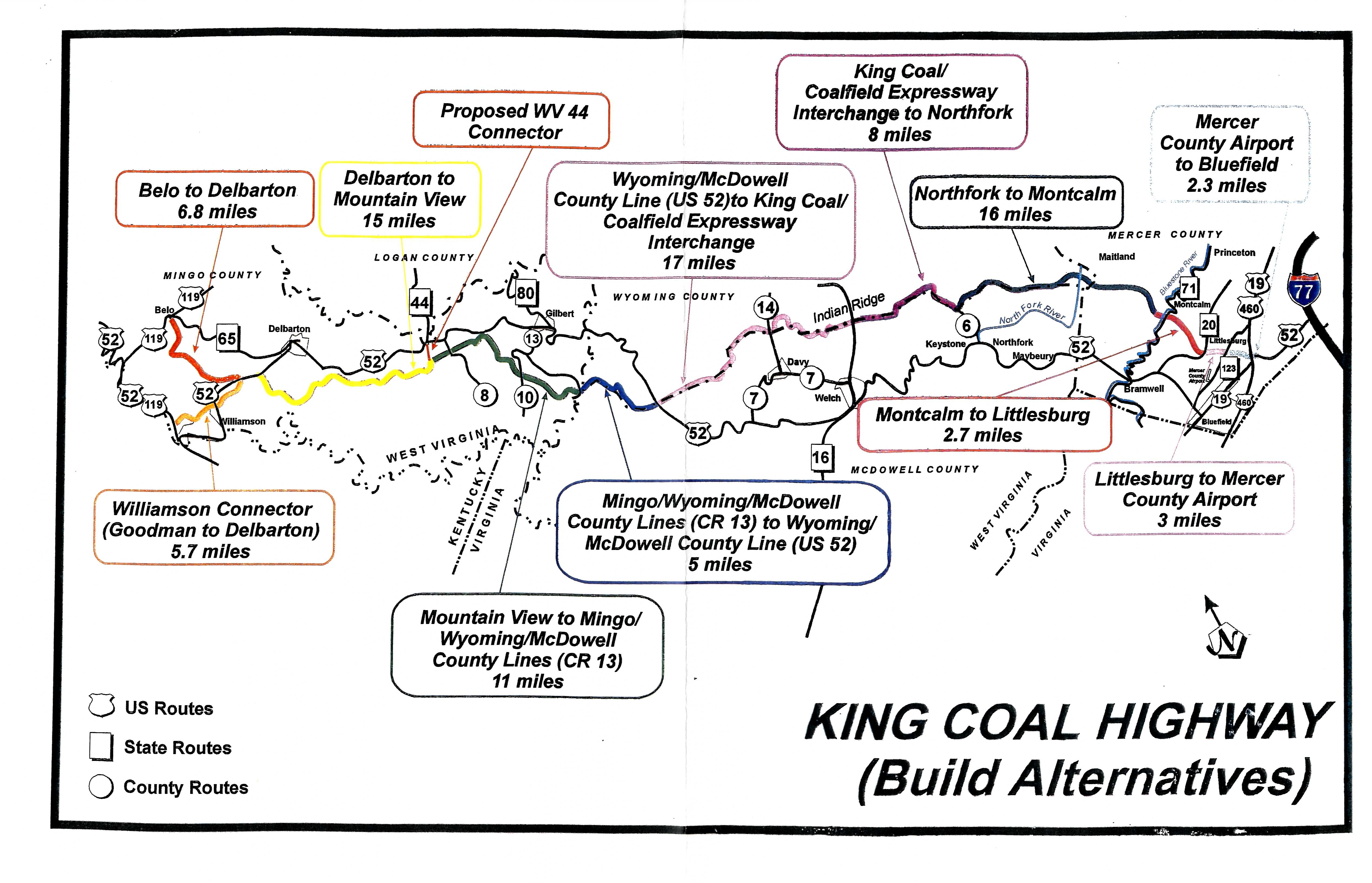
US 52 King Coal HighwayThe King Coal Highway Authority was established by the West Virginia Legislature in March of 1999 to promote and advance the construction of a four-lane divided highway that will become the new routing for US 52 through McDowell, Mercer, Mingo, Wyoming and Wayne counties replacing theexisting US Route 52. The Authority coordinates with counties, municipalities, state and federal agencies, public nonprofit corporations, private corporations, associations, partnerships and individuals for the purpose of planning, assisting and establishing recreational, tourism, industrial, economic and community development of the King Coal Highway for the benefit of West Virginians. The West Virginia Division of Highways (WVDOH) plans to build the highway from a point near Williamson – at the intersection of WV 65 and US 119 – to Interstate 77 at its US 52 interchange in the Bluefield area (see map). After evaluating six alternative routes for the highway and considering public comments from a May 1998 public information workshop, WVDOH selected a Preferred Alternative. By the year 2020, engineers estimate the new highway would cut travel time on the existing US 52 to almost in half. The Preferred Alternative plan also includes a 4-lane connector, nearly five miles long, to improve access into Williamson. The connector would also provide access to the Mingo County Airport.The Preferred Alternative was chosen on the basis of its ability to meet the needs of the project while minimizing impact on the natural, physical and social environments. This selected route avoids the greatest number of archaeological resources and has the least impact on businesses and residences. This Preferred Alternative, however, remains "preliminary" until the completion of the entire public involvement process. The King Coal Highway will be a limited controlled access four-lane divided highway between Williamson and Bluefield.It ultimately will cover approximately 90 miles of mountainous southern West Virginia, opening it up to faster, safer transportation.The route was designated as a High Priority Corridor in the National Highway System in the Intermodal Surface Transportation Efficiency Act of 1991.The Congress designated Corridor 5 as the Future Interstate 73/Interstate 74 Corridor.However, the states of Michigan and Ohio widthdrew their support for I-73 and I-74 after preliminary feasibility studies in the 1990's showed that the cost to build them excessed their economic benefit.Ohio always had plans to upgrade US 23 in Ohio to freeway over the long term as projected traffic increases warranted the expense.The state already to constructing the new OH 825 freeway bypass of Portsmouth as the final part of Appalachian Development Highway System Corridor B.North Carolina proceeded to build sections of both I-73 and I-74.South Carolina has obtained all the necessary Federal environmental permits to complete I-73 when funding is made available.The state of Virginia has made funding of I-73 a low priority for the near future.West Virginia continues to support converting The King Coal/TOLSIA Highways to I-73 on condition that Virginia commit itself to completing I-73 through the state. 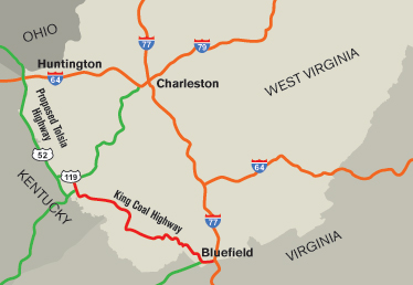
US 52 TOLSIA HighwayThe TOLSIA Highway is the portion of U.S. 52 in southern West Virginia that runs between Kenova in Wayne County and Williamson in Mingo County.The acronym is taken from the "Tug-Ohio-Levisa-Sandy Improvement Association", a group of local business people and community leaders who successfully lobbied in the 1950s and 1960s to have a new roadway constructed along the Big Sandy River.After the new road was built, the U.S. 52 designation which previously had applied to the road connecting Huntington and Crum was moved to the new road. The old road was renumbered as U.S. 152.State and federal officials pressed ahead with plans for upgrading it from a two-lane roadway to a four-lane divided highway.The new, upgraded road will be built in three sections, the first from Kenova to Fort Gay, the second from Fort Gay to Crum, and the third from Crum to Kermit. Construction on the upgrade, estimated to cost more than $800 million, began in 1996 and was expected to take a decade or longer to complete. 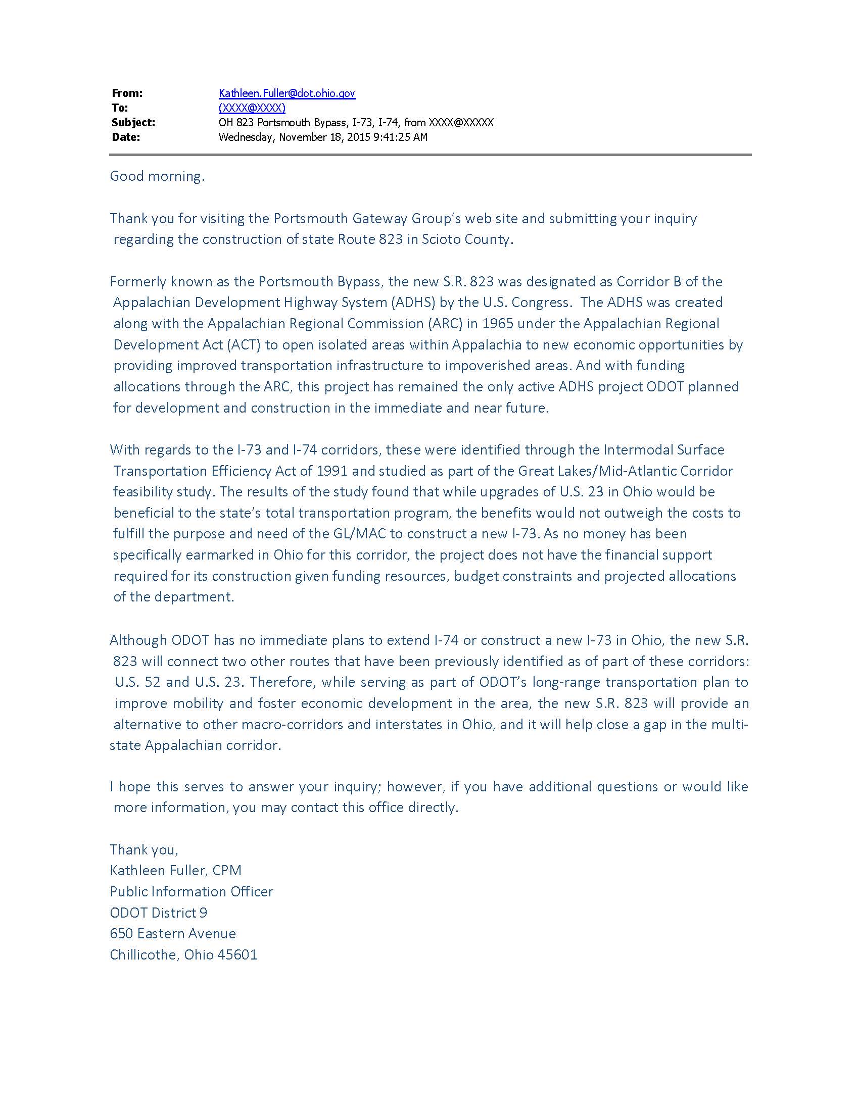
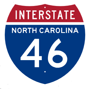
History of I-73 in Michigan and OhioMichigan's Department of Transportation conducted preliminary studies in the 1990's, but voter opposition and the governor's office cancelled any further studies.The only serious study of I-73 in Ohio was conducted by the Ohio Turnpike Commission in the 1990's because the Congress did not authorize any consistent funding from the Federal Aid Highway Trust Fund and the Ohio Department of Transportation (ODOT) had no foreseeable funding for either project over the next 50 years. I-73 was heavily opposed in the Columbus area and I-74 was opposed in the Cincinatti area.ODOT never seriously studied I-74 specifically because traffic on the existing OH 32 Corridor D and US 52 along the Ohio River were extremely low to justify an Interstate freeway and the projected economic benefit was judged too low in southeast Ohio.Completing I-73 outside of North Carolina and linking I-74 in Ohio to I-74 in North Carolina are in a status of "indefinite hold" until federal funding is guaranteed, leaving the segments of I-74 in Ohio and I-74 in North Carolina unlinked duplicate route numbers.Given the fact that I-74 will never be a single route, AASHTO should redesignate the part of I-74 in North Carolina to I-46 from I-77 to I-95. |
|---|---|
Corridor B, Corridor D, King Coal Highway
|
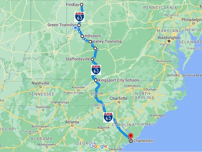
The Future I-63 Emancipation Xpress Historical CorridorThe new I-63 Emanciptation Xpress Historical Corridor begins at the existing I-26 from South Carolina. Future I-63 generally follows US 23 Appalachian Development Highway Corridor B through Virginia and Kentucky, then US 52 to Portsmouth Ohio. From Portsmouth, Future I-63 follows a new terrain route generally following OH 73 to OH 32, then to interchanges with I-71 and U.S. 35/Future I-66 between Jamestown and Washington Courthouse, north to interchange with I-70 between Springfield and Columbus. Future I-63 continues north, running east of Urbanna, and an interchange with U.S. 33 east of Bellfontaine. Future I-63 the parallel's U.S. 68 to Findlay Ohio, terminating at I-75. |
Kentucky
 |
I-63 Corridor BI-63 first follows US 23 Corridor B in the Appalachian Development Highway System Corridor B north from the existing I-26/I-81 interchange between Kingsport and Johnson City Tennessee into Kentucky, linking Huntington West Virginia, Portsmouth Ohio. I-50The I-50 Trans America Highway start from the US 460 Corridor Q then general follows the old I-66 corridor through the state to Missouri. The remaining section of the original "I-66" in the east may form an I-150 spur to I-62 in West Virginia. |
West Viginia
 |
I-50I-50 would use the planned U.S. 52 King Coal Highway four-lane divided highway, the original route for "I-73/I-74" through West Virginia to Columbus Ohio that was cancelled in Ohio. The King Coal Highway Authority was established by the West Virginia Legislature in March of 1999 to promote and advance the construction of a four-lane divided highway that will become the new routing for U.S. 52 through McDowell, Mercer, Mingo, Wyoming and Wayne counties replacing theexisting U.S. Route 52. The Authority coordinates with counties, municipalities, state and federal agencies, public nonprofit corporations, private corporations, associations, partnerships and individuals for the purpose of planning, assisting and establishing recreational, tourism, industrial, economic and community development of the King Coal Highway for the benefit of West Virginians. The West Virginia Division of Highways (WVDOH) plans to build the highway from a point near Williamson – at the intersection of WV 65 and U.S. 119 – to Interstate 77 at its U.S. 52 interchange in the Bluefield area (see map). After evaluating six alternative routes for the highway and considering public comments from a May 1998 public information workshop, WVDOH selected a Preferred Alternative. By the year 2020, engineers estimate the new highway would cut travel time on the existing US 52 to almost in half. The Preferred Alternative plan also includes a 4-lane connector, nearly five miles long, to improve access into Williamson. The connector would also provide access to the Mingo County Airport.The Preferred Alternative was chosen on the basis of its ability to meet the needs of the project while minimizing impact on the natural, physical and social environments. This selected route avoids the greatest number of archaeological resources and has the least impact on businesses and residences. This Preferred Alternative, however, remains "preliminary" until the completion of the entire public involvement process. The U.S. 52 King Coal Highway will be a four-lane divided highway with partially controlled access between Williamson and Bluefield.It ultimately will cover approximately 90 miles of mountainous southern West Virginia, opening it up to faster, safer transportation.The route was designated as a High Priority Corridor in the National Highway System in the Intermodal Surface Transportation Efficiency Act of 1991.The corridor was actually designated as Future Interstate 73 and Interstate 74 Corridor and still is today. Since then, Michigan widthdrew its support for I-73 and Ohio widthdrew its support of both I-73 and I-74. North Carolina proceeded to build its sections of both I-73 and I-74 and South Carolina still plans to complete their part if funding exist. Virginia supported I-73 until 2012, but finally decided to cancel all planning of I-73 through the state |
Ohio
 |
I-63 Emancipation Underground Railroad Historical CorridorI-63 departs from Corridor B following new terrain route to US 68 terminating at I-75 Findlay. I-66 Ohio River Mound-Builders Historical CorridorI-66 follows US 35 to Dayton and I-70 west of the city. I-68 Ohio River Mound-Builder Historical CorridorI-68 extends west from West Virginia first along US 50 then OH 32 to Cincinnati, terminating at the existing I-275 then east along the new OH 32 Eastern Corridor.
|
Virginia
|
 .jpg)
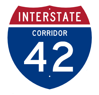
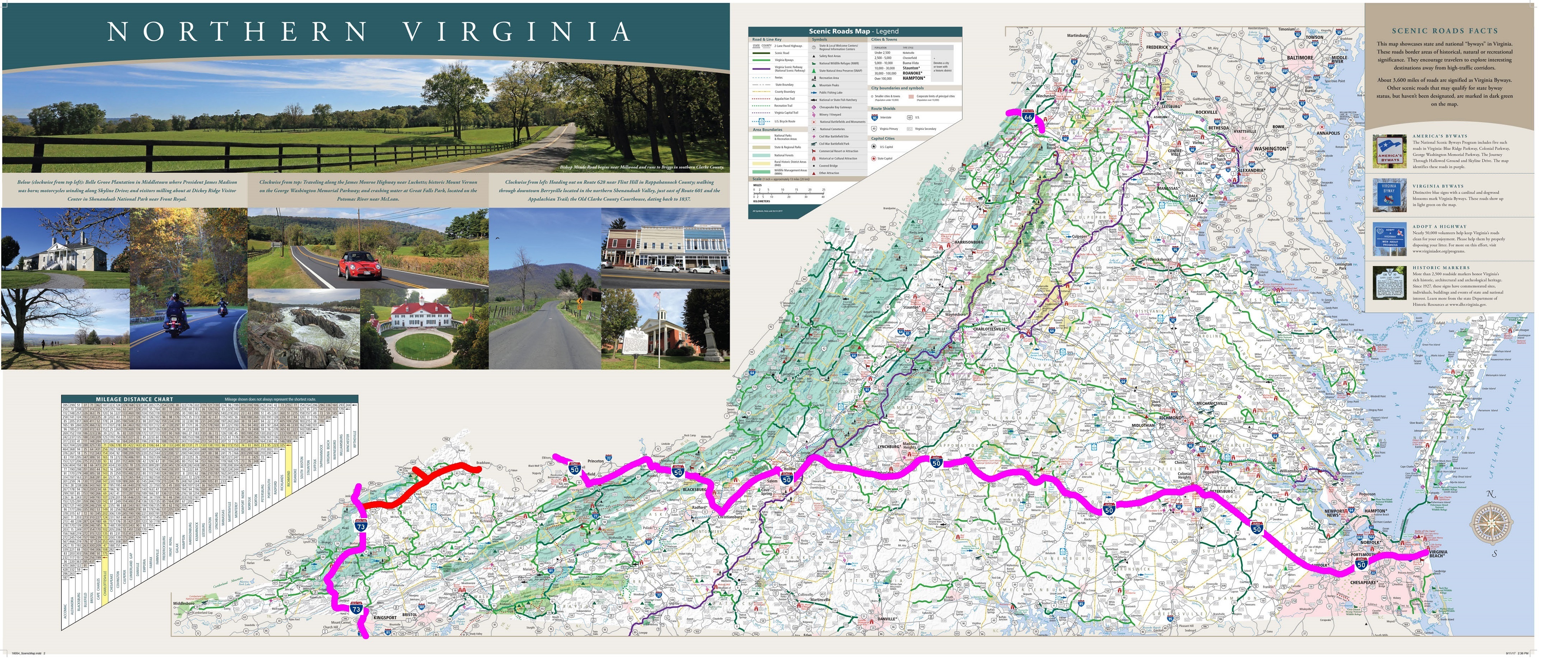
I-50 Trans American Pioneer CorridorThe I-50 Trans American Pioneer Corridor enters Virginia along the US 460 Appalachian Development Highway Corridor Q Connector, then along the U.S. 121 Coalfields Expressway into West Virginia. I-50 then along U.S. 460 to Blackburg and I-81. I-50 then follows U.S. 460 from I-81 to the Chesapeake/Norfolk area in Virginia, to end in Virginia Beach via I-264. I-87 Raleigh-Norfolk Interstate CorridorI-87 is the new designation for the Raliegh-Norfolk Interstate Corridor authorized by the new Surface Transportation Reauthorization and Reform Act of 2015. |
North Carolina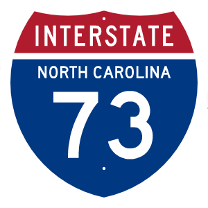
 |
.jpg)
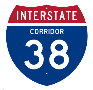
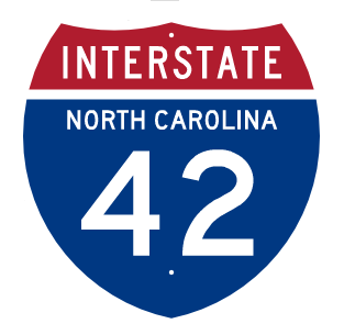
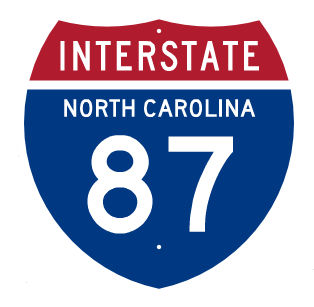
Redesignate I-74 to I-46Because I-74 in North Carolina will never connect to I-74 in Ohio, I-74 in North Carolina should be redesignated to I-46 from I-77 to Wilmington North Carolina. High Priority Interstate 87 Corridor 13Raleigh-Norfolk Corridor from Raleigh, North Carolina, through Rocky Mount, Williamston, and Elizabeth City, North Carolina, to Norfolk, Virginia. The US 64/US 17 Raleigh-Norfolk Corridor became a Future Interstate Corridor in the new Fixing America's Surface Transportation Reauthorization {FAST} and Reform Act of 2015.The AASHTO approved the I-87 designation for this corridor, although this duplicates the existing route number of the New York Thruway north from New York City to Albany. High Priority Interstate 785 Corridor 40 [created in ISTEA]The Greensboro Corridor from Danville, Virginia, to Greensboro, North Carolina, along United States Route 29. High Priority Interstate 795 Corridor 81 [created in FAST]United States Route 117/Interstate Route 795 from United States Route 70 in Goldsboro, Wayne County, North Carolina, to Interstate Route 40 west of Faison, Sampson County, North Carolina. High Priority Interstate 42 Corridor 82 [created in FAST]United States Route 70 from its intersection with Interstate Route 40 in Garner, Wake County, North Carolina, to the Port at Morehead City, Carteret County, North Carolina. After US 70 became a Future Interstate Corridor in FAST, the AAHSTO approved the I-42 designation for the new Interstate Corridor. U.S. 74 to I-38The southern segment of I-74 in North Carolina should be changed to I-38 to from I-26 to Wilmington as I-38. |
South Carolina
|
.jpg)
I-63 Emancipation Xpress CorridorThe existing I-26 be renumber I-63 designation to create a single Interstate corridor from South Carolina to Ohio. 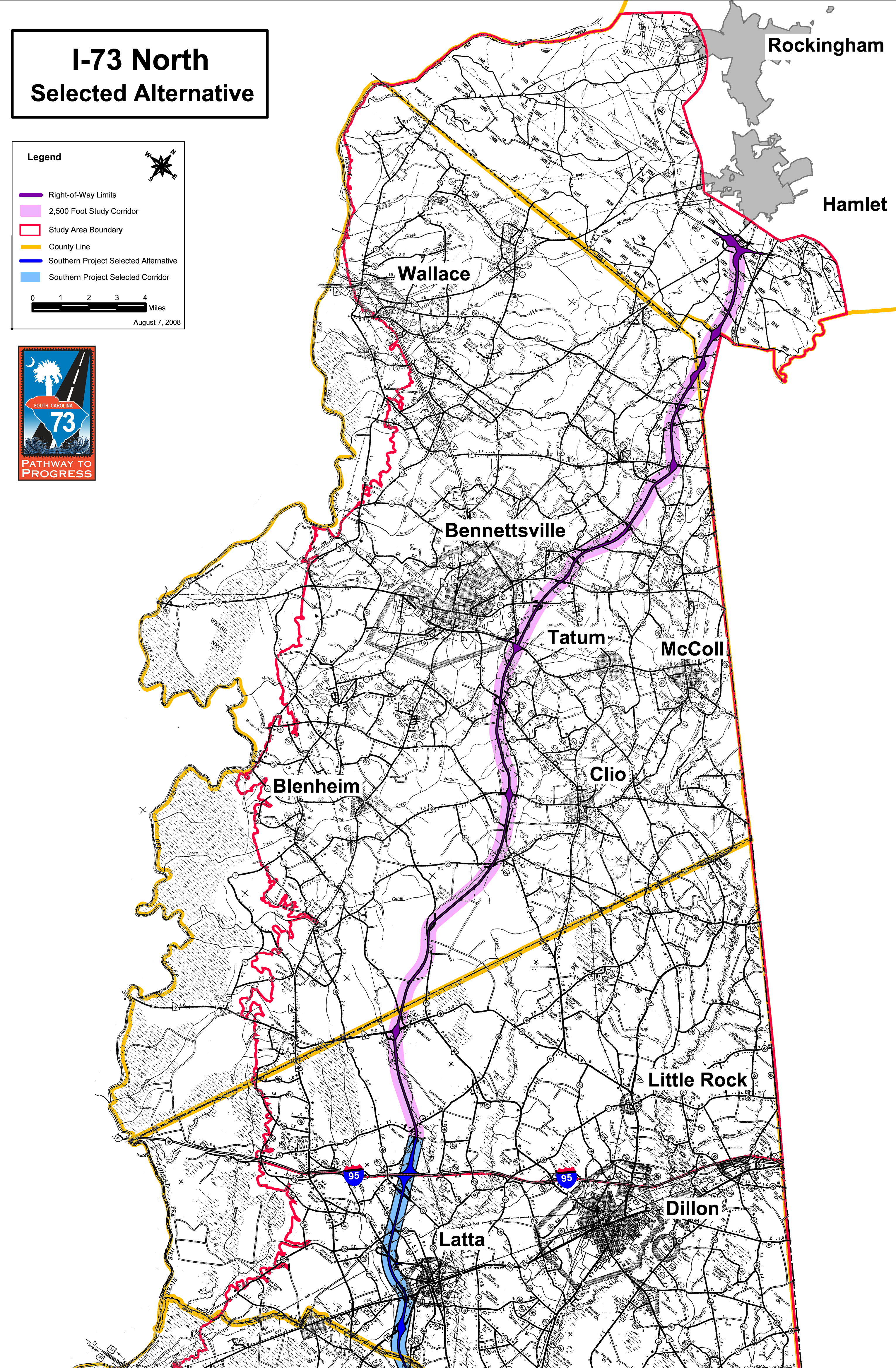
The Selected Northern Corridor in South Carolina for ISTEA Future I-73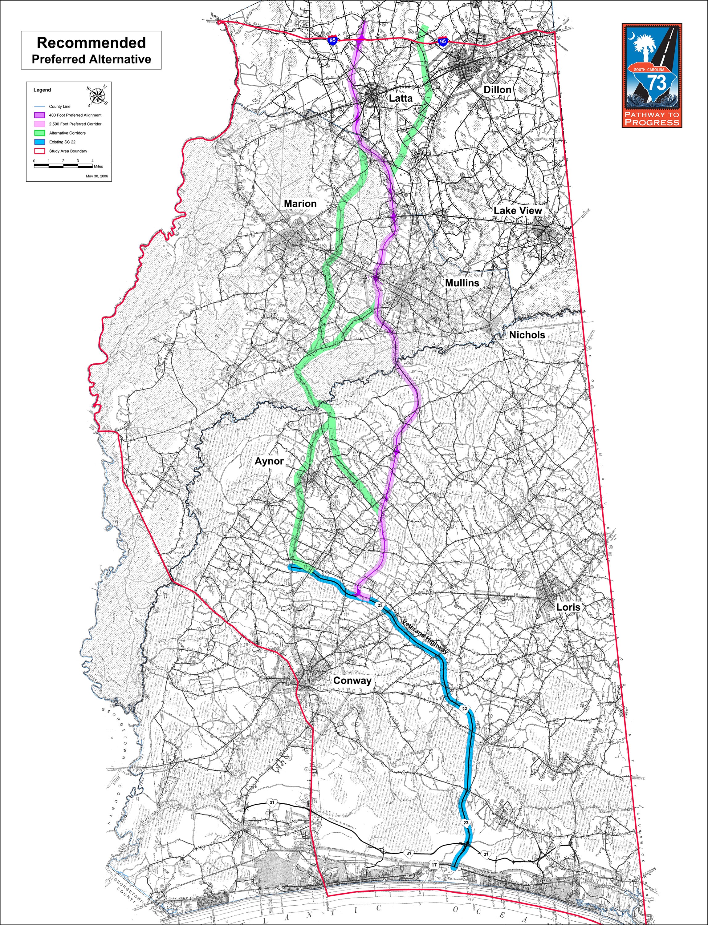
The Selected Southern Corridor in South Carolina for ISTEA Future I-73 |
Future I-50/I-60/I-70 Transcontinental Pioneer Corridor
|
Future I-18 Acadian-Creole-Spanish Trail Historical Corridor, Future I-53/I-57 Mississippi River Mound Builders Corridor
|
|---|---|
Future I-66/I-68 Ohio River Mound Builders Historical Corridor
|
Future I-63 Emancipation Underground Railroad Historical Corridor
|
Future I-14 Gulf Coast Strategic Highway Corridor
|
Future I-76 Lincoln Highway Historical Corridor, Future I-72 Corridor
|
Future I-49 Corridor
|
Future I-27 Ports to Plains Corridor, Future I-31 Great Plains Corridor, Future I-2
|
| Future I-42 Conversion of U.S. 412 and U.S. 70
|
Future I-69
|